This post may contain affiliate links, from which we earn an income. Click here to read our affiliate policy.
Hiking the Lac de Gaube
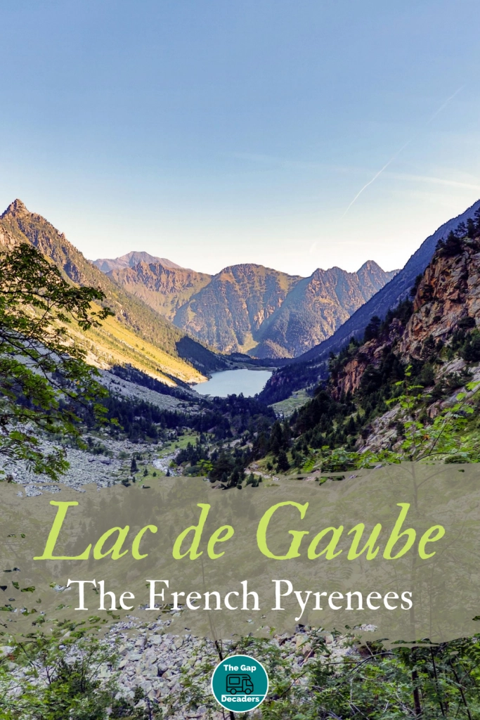
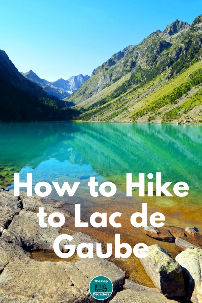
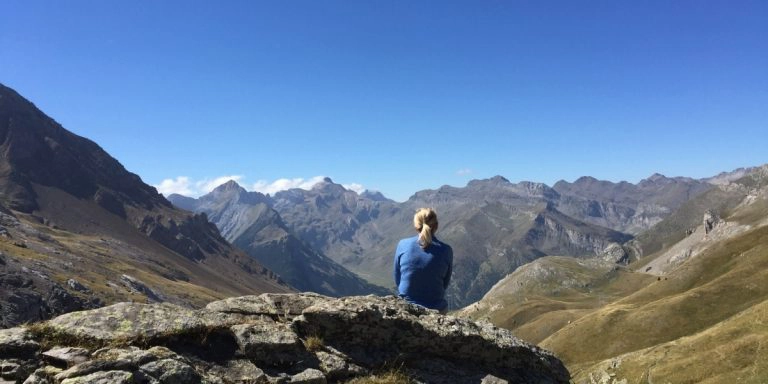
The Lac de Gaube hike in the French Hautes-Pyrenees is spectacular. A truly breathtaking hike around the crystal clear lake and surrounding dramatic valley – make sure to stop often to enjoy the stunning mountain and lake views.
At a Glance
When to Go
May to October is the best time for hiking in the Pyrenees mountains of France. For a less crowded hike, head for the Lac de Gaube in May, June or September.
Is this your first time visiting France? Get all the information you need in our France Travel Guide, including what to pack, the best time of year to go, getting there and practical tips to help you have the best trip!
Parking
Cars and motorhomes can drive up from Cauterets and park at the enormous car park at Pont d’Espagne at the route start point, for €7 for the day. It is not possible to spend the night here in a motorhome or campervan.
Family Friendly
This is quite a long hike for small children but there is a cable car from Pont d’ Espagne to the Gaube lake. Families can hike around the Lac de Gaube without gaining elevation or taking the trails up to the waterfall.
Facilities
There is a big interpretation centre with a cafe and loos at Pont d’Espagne and a hostelry at the lake. There are also basic public toilets at the lake, make sure you have you own loo roll….and a peg, they are well used!
People
This is a gorgeous spot which draws many visitors, particularly during the summer months. The cable car provides easy accessibility and so the area around the hostel can become very busy. As you traverse the lake and gain elevation, numbers lower.
Other Things to Know
The Vallee de Gaube is in the Pyrenees National Park. This means strict regulations apply to protect the nature and wildlife in the area. Dogs are not allowed, even on a lead. You must not pick wildflowers or start a fire and there is strictly no camping. No aerial or shooting type sports are allowed and you cannot ride a mountain bike or use a motorised vehicle. Basically, respect this small ecological paradise and its surroundings.
Lac de Gaube Map
How to use this map – Use your fingers (or computer mouse) to zoom in and out. Click or touch the icons to get more info about a place, and click the arrow in the box top left to open the index. To add to your own Google Maps account, click the star next to the title of the map.
The Hike
This is one of the most picturesque hikes in the French Pyrenees. The lake is crystal clear and seemingly bottomless – imagine the trajectory of the mountains under the lake and you get the idea! The mountains beyond offer waterfalls, meadows and mountain goats galore!
From the huge car park, pass the visitor centre and follow the main track that leads uphill. You will soon arrive at the Hotel du Pont d’Espagne, located in front of an amazing series of waterfalls, where two rushing streams meet – perfect for a quick photo opportunity! Follow the signs for here to the actual Pont d’Espagne stonebridge which used to be a trading route between France and Spain, before heading back to pick up the main path again.
From the waterfalls cross the main bridge, walk a couple of metres downhill and pick up the path which starts a bit further to the right. This track is part of the GR10 (red and white markings), a long-distance route that winds its way through the Pyrenees from the mighty Atlantic ocean to the Mediterranean.
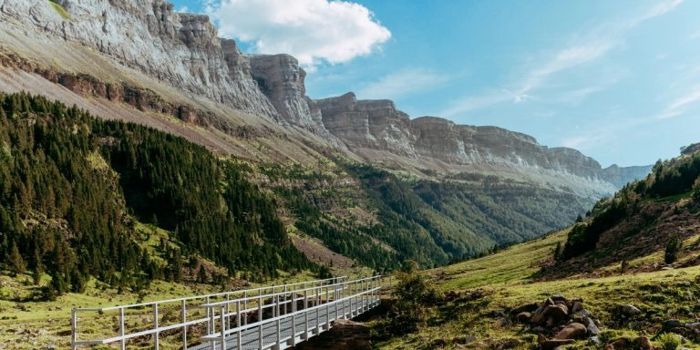
The track is quite steep at the beginning, but the path is well maintained. You will cross a beautiful forest, with lush vegetation and large rocks and boulders and passing close to one of the main waterfalls.
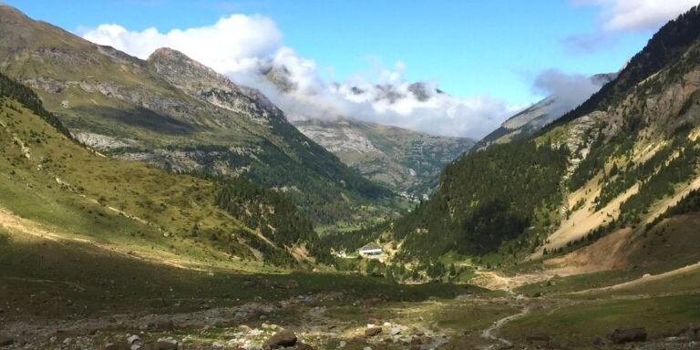
The path levels and you are rewarded with stunning views towards the end of the valley, with the distinctive Vignemale summit at 3298m and its glaciers dominating the view. Soon you will reach the beautiful Lac Gaube which may surprise you as you don’t see it until you’re almost in it. The lake is a great spot for wild swimming, but be warned, its cold even in summer – you are at 1725m above sea level!
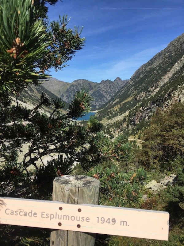
For an extra 2.9km and 250m of elevation gain, take the route south around the lake and up to the Cascade Esplumouse along a fairly easy and well marked path. The additional elevation gain is spread along quite a distance so there are no especially steep places although you may have to scramble over a few large boulders.
The waterfall is a great spot for lunch and if you turn back here, you will have a fantastic full days hike. It is possible to carry on to the Petit Vignemale at 3032m and stay at the Refuge des Oulettes de Gaube (check before heading out to ensure the refuge is open), if you fancy a longer hike spread across a few days.
You can take the Lac de Gaube cable car from the visitor centre to a spot around 2km from the lake. The walk from the cable car station will take around 30 minutes along mainly flat paths and is well signposted. You can buy tickets here for €15.
Other nearby hikes you may enjoy…
How to Hike Mont Ne & Lac de Bareilles
Cirque de Gavarnie – All You Need to Know
How to Hike Pic de Tentes & Port de Boucharo
How to Hike the Circo de Soaso via Faja Pelay – Ordesa Valley
Are you looking for more travel inspiration? Check out these top posts…
Route des Grandes Alpes: An Epic French Road Trip
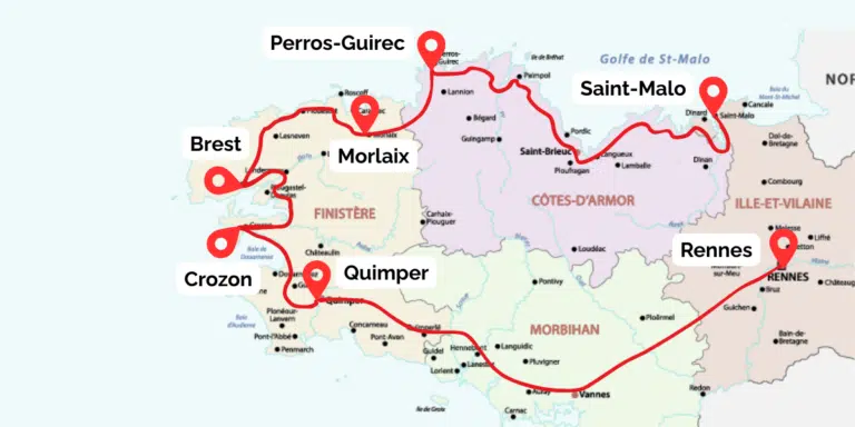
Brittany Road Trip: The Wild Coast and Historic Heart of Western France by Car
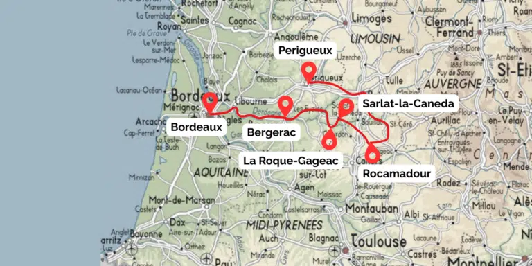
Dordogne Road Trip: The Best of Southwest France by Car
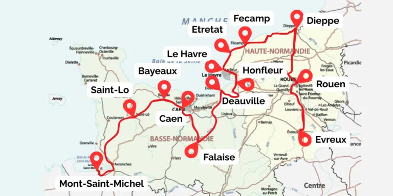
Normandy Road Trip: A Classic 7 Day Itinerary by Car
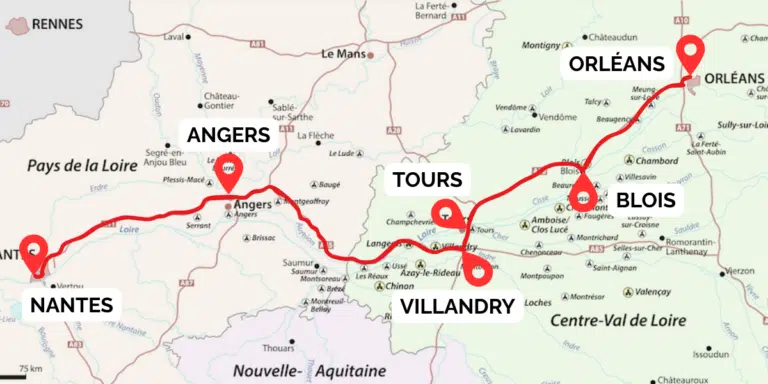
Loire Valley Châteaux Road Trip: The Best of Classic France by Car
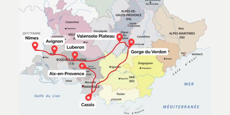
Provence Road Trip: The Best of Southern France by Car
Love it? Pin it!
